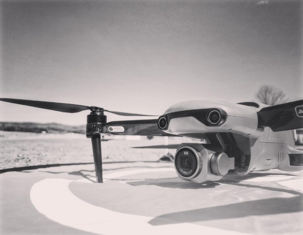
Drone
Aerial Drone Inspection: An Innovative and Safe Solution
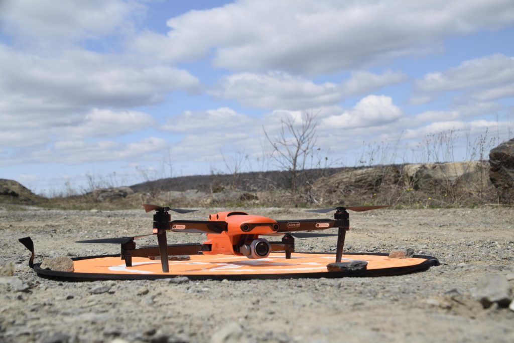
Aerial drone inspection allows the ICR Expert team to perform detailed and versatile visual assessments in a wide range of environments. This technology enables us to collect data remotely and safely, even in hard-to-reach areas, ensuring precise analysis without compromising the safety of our teams. Our drones, equipped with advanced modules, deliver efficient and comprehensive inspections—even under the most demanding conditions.
Our equipment includes advanced features such as:
- Loudspeaker broadcasting for aerial communication.
- Night inspections using high-powered LEDs for increased flexibility.
Optimal precision with RTK modules, allowing advanced geolocation of collected data.
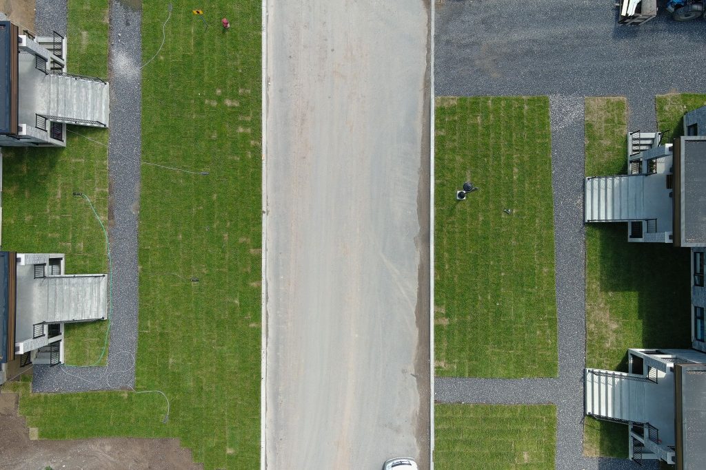
We also offer professional aerial photography services, including high-quality images and videos for individuals, real estate agents, and businesses. This service is ideal for showcasing properties, documenting projects, or capturing unique perspectives with exceptional visual quality tailored to your needs.
Services
Click on a service to learn more
Slope calculations
Topographic survey
Surveying by drone
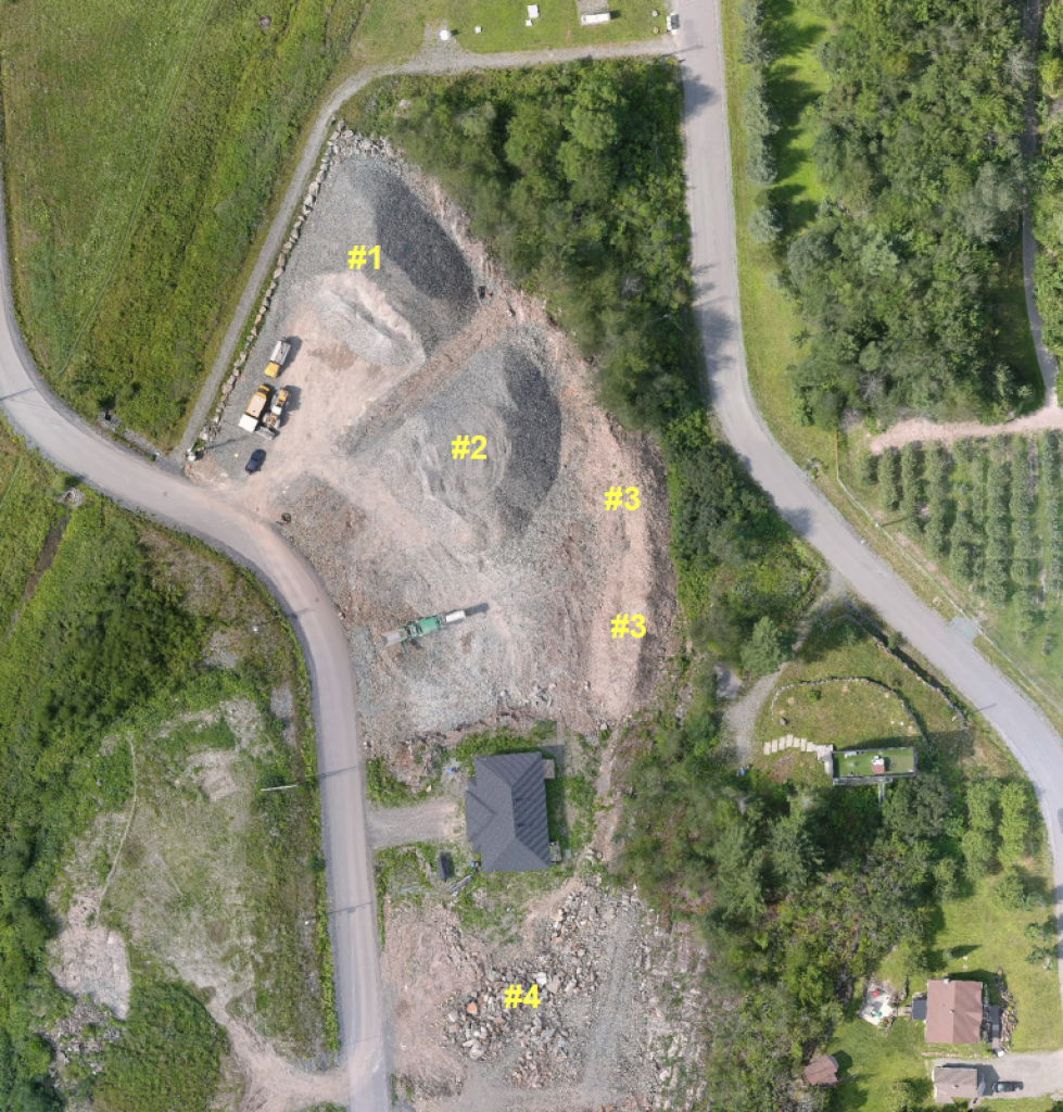
Volumetry
Aerial inspection of structures
Aerial imaging services
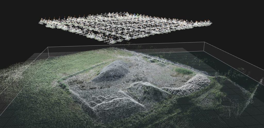
3D modeling
We offer customized services for businesses and individuals looking to enhance their brand image or obtain high-resolution aerial panoramic views of their property. Whether for marketing campaigns, real estate projects, or personal memories, we provide personalized solutions that meet your expectations.
At ICR Expert, the possibilities for image capture are endless. Our drones, capable of filming in 6K/4K resolution, deliver outstanding flight precision, ensuring professional results for your photography or cinematography projects. By combining advanced technology and creativity, we provide striking visual renderings designed to impress your audience.
Our deliverables clearly identify problematic areas, giving you a comprehensive overview for informed decision-making. With the ICR Expert approach, you gain peace of mind thanks to exceptional inspection quality, significant time savings, and a 100% safe operation—no direct human intervention required. Our drone inspections minimize risks, optimize costs, and ensure analysis that meets the highest standards, enabling efficient infrastructure management.
3D modeling